")
")
Workshop proposed by: RightsTech Women
Languages: English and French
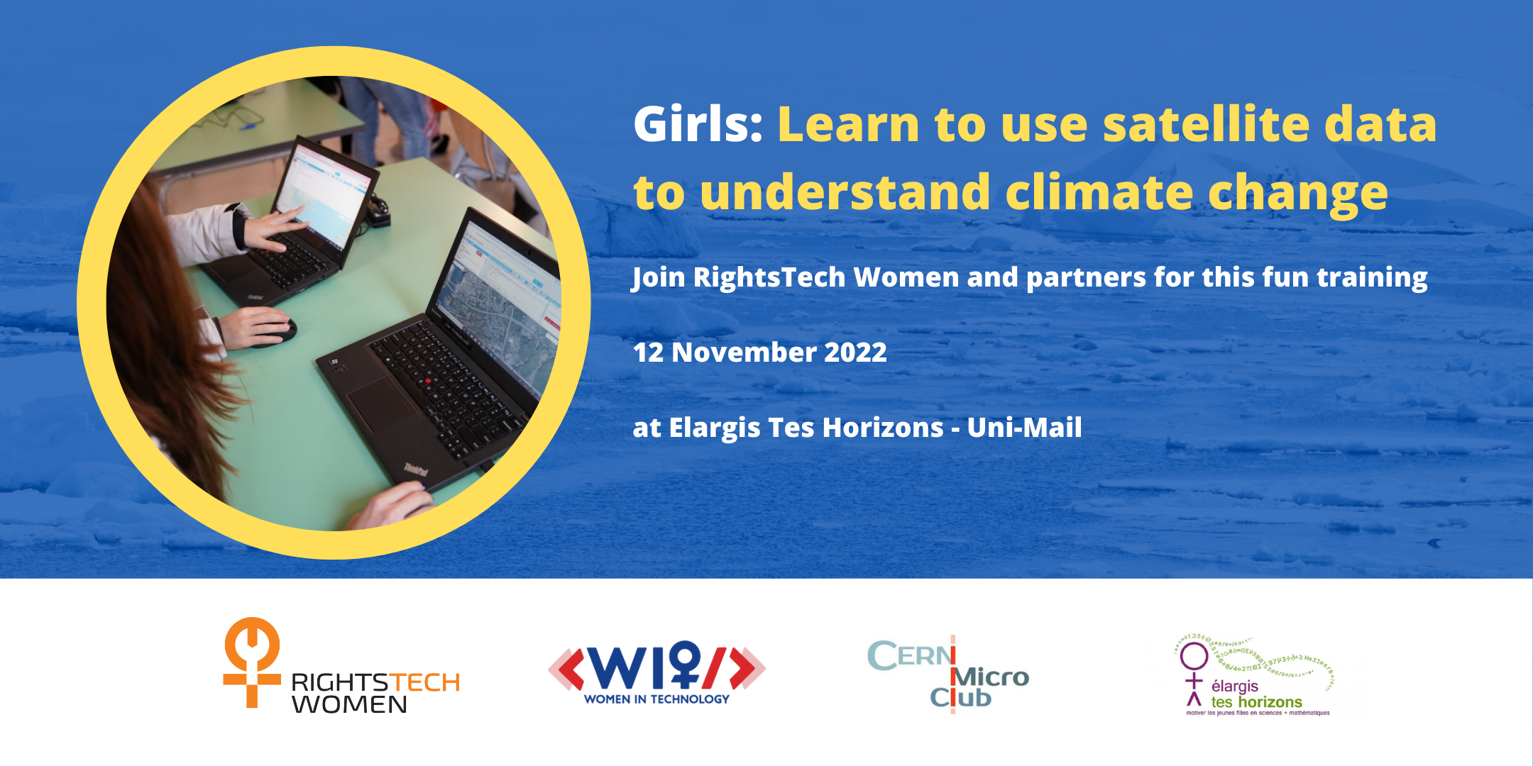
How can you use satellite data to understand climate change in your community? Join RightsTech Women and partners for a training exploring this question. In this event, participants will learn how you can apply pictures of Earth taken from space to understand climate change in your local area and around the world. We will introduce you to satellite imagery and the process of working with such data to investigate your own questions. We will introduce you to Google Earth Engine, a platform you can use to visualize and understand climate trends such as deforestation, temperature change, and extreme events. No experience necessary - just bring your curiosity! You will also have a short careers talk led by our technical coaches, where we talk about different kinds of jobs you can do in STEM (science, technology, engineering and mathematics).
Workshop presented by: Ellen Walker, Brice Copy, Magda Bunkowska, Makoto Ikeda, Arwa Al-Fakih, Florentia Protopsalti, Zacharias Zacharodimos and Karen Jex.